| Staff |
| Projects |
| Lecture Cources |
| Grants |
| Recent Publications |
| History |
|
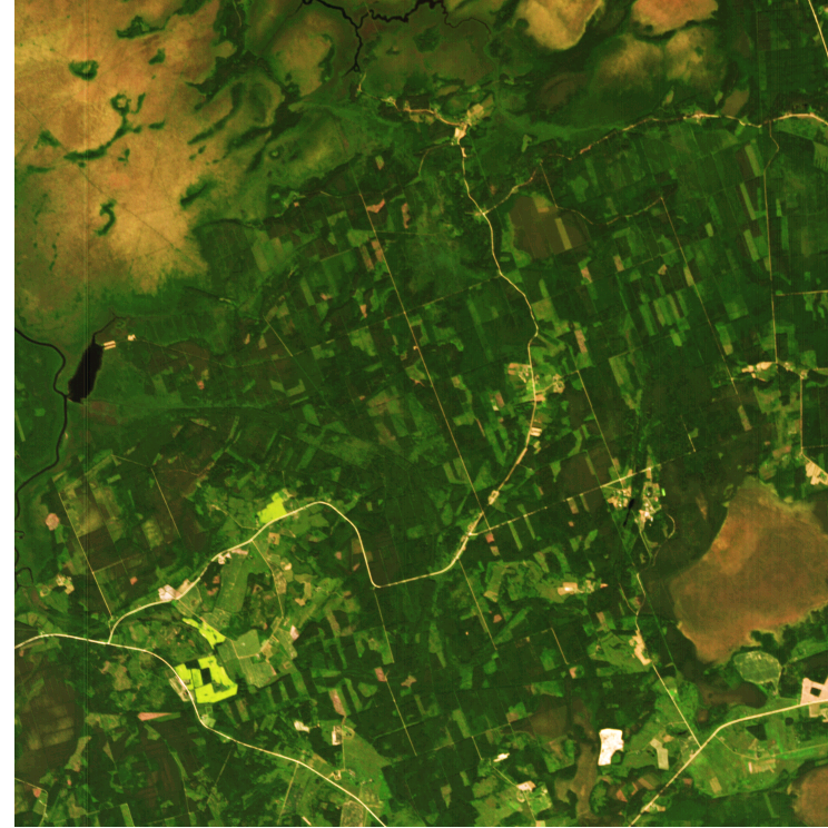
CHRIS image of Järvselja test site (700K) |

|
Forest map of Estonia (© U. Peterson) |
The research activities of the group of remote sensing of vegetation are focused on radiative transfer in vegetation canopies and its applications in physically-based algorithms for vegetation remote sensing. Forest reflectance models under development at Tartu Observatory are mainly targeted at predicting the optical signatures of northern temperate, sub-boreal and boreal forest types; however, considering their physically-based nature, the models may be applied to other highly clumped canopies.
In addition to canopy reflectance modeling, methods for atmospheric correction in satellite remote sensing are being tested and developed by the group. Since October 2000, the optical properties of the atmosphere are measured by a Sun photometer operated by AERONET at Tartu Observatory, Tõravere.
Also, studies of coastal and inland water bodies using optical remote sensing were started at Tartu Observatory a few years ago.
Other ongoing activities by our group:
-
Special radiometric instrumentation is designed for the study of radiation
conditions in vegetation canopies and for supporting satellite-borne instruments via
ground truth and airborne measurements.
-
Satellite remote sensing is used for monitoring forest cutting and land use
change.
-
The group has been participating in several international
projects.
- The group is involved in teaching and supervising graduate students at Tartu University and Estonian University of Life Sciences.
Last updated: 2 May 2018
A. Kuusk, andres@to.ee
| To: | Tartu Observatory |
Institute of Environmental Physics, Faculty of Science and Technology, Tartu University |